UK Braces for More Snow in January as Cold Conditions Persist
Forecasts and evolving weather patterns suggest further snowfall across parts of Britain later this month
As the United Kingdom continues to experience wintry conditions through January, meteorologists and weather models indicate that further snowfall is possible later in the month, particularly in northern and higher-altitude regions.
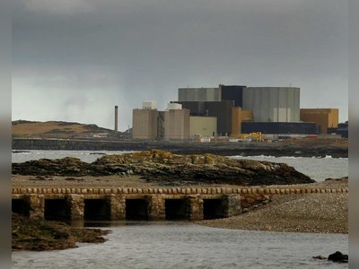
Recent severe winter weather, including an Arctic blast that brought significant snow and ice warnings across Scotland and other parts of Britain, underscores a cold pattern that may not yet be over.
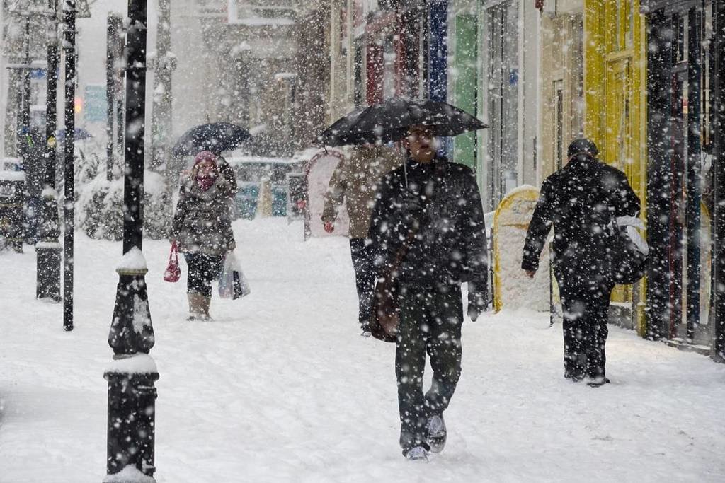
Snow has already fallen in several areas this month, prompting avalanche warnings in mountainous zones and disruption to transport, with temperatures plummeting well below freezing in places.
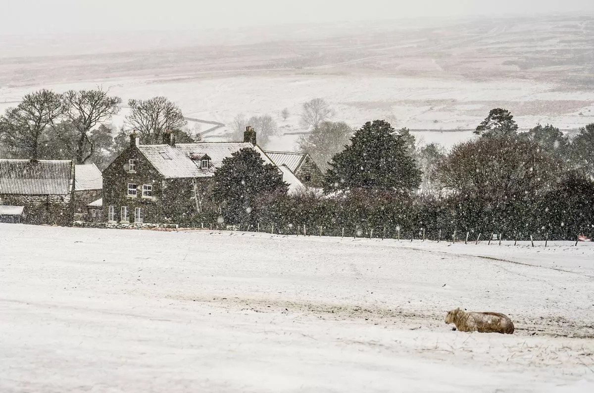
Long-range forecasts and weather maps suggest a renewed risk of snow returning toward the last week of January, driven by a clash between cold air from the north and milder Atlantic systems, which could bring fresh wintry precipitation to parts of Scotland, northern England and potentially other regions.
While short-term forecasts covering the next few days point to changeable conditions with showers, rain and generally milder daytime temperatures, longer-range guidance from forecasters highlights an increasing likelihood of colder air dominating later in the month, boosting the chances of snowfall.
Residents and travellers have been advised to stay updated on Met Office warnings and local forecasts, as wintry hazards including ice, frost and snow remain plausible throughout the month and could lead to travel disruption and hazardous conditions.
The evolving pattern reflects a typical UK January, during which temperatures often fluctuate and snow events can occur with variable intensity depending on regional weather dynamics.
Recent severe winter weather, including an Arctic blast that brought significant snow and ice warnings across Scotland and other parts of Britain, underscores a cold pattern that may not yet be over.
Snow has already fallen in several areas this month, prompting avalanche warnings in mountainous zones and disruption to transport, with temperatures plummeting well below freezing in places.
Long-range forecasts and weather maps suggest a renewed risk of snow returning toward the last week of January, driven by a clash between cold air from the north and milder Atlantic systems, which could bring fresh wintry precipitation to parts of Scotland, northern England and potentially other regions.
While short-term forecasts covering the next few days point to changeable conditions with showers, rain and generally milder daytime temperatures, longer-range guidance from forecasters highlights an increasing likelihood of colder air dominating later in the month, boosting the chances of snowfall.
Residents and travellers have been advised to stay updated on Met Office warnings and local forecasts, as wintry hazards including ice, frost and snow remain plausible throughout the month and could lead to travel disruption and hazardous conditions.
The evolving pattern reflects a typical UK January, during which temperatures often fluctuate and snow events can occur with variable intensity depending on regional weather dynamics.