Snow Unlikely Immediately After Storm Goretti as UK Turns Milder Before Potential Late-January Cold Snap
Forecasters say any widespread snowfall is more likely later in the month, with brief wintry risks confined to higher ground in the near term
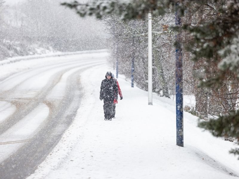
Snow is not expected across most of the United Kingdom in the immediate aftermath of Storm Goretti, as weather conditions turn milder and more unsettled before any renewed cold arrives later in January.
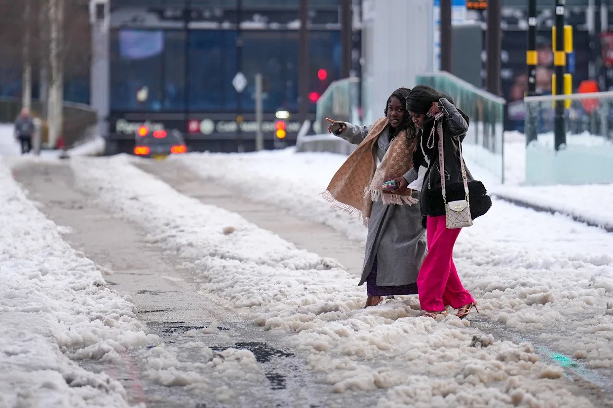
Following the storm’s passage, Atlantic air has dominated, bringing rain and strong winds rather than the sustained low temperatures required for snowfall at lower elevations.
Meteorologists say that while temperatures have dipped overnight in some regions, they have generally remained above the threshold needed for snow away from hills and mountains.
In the short term, wintry precipitation is most likely to be limited to higher ground in Scotland and parts of northern England, where colder air can briefly interact with passing weather fronts.
Even in these areas, snow is expected to be patchy and short-lived rather than widespread or disruptive.
Forecasters note that ground conditions and sea temperatures remain relatively warm, reducing the likelihood of snow settling at lower levels.
Looking further ahead, medium-range forecasts indicate an increasing chance of colder air pushing south later in January.
This pattern could raise the risk of more widespread wintry weather, particularly across northern and eastern parts of the UK, if temperatures fall sufficiently and precipitation coincides with the colder conditions.
However, meteorologists stress that confidence decreases beyond a week, and the exact timing and intensity of any cold spell remain uncertain.
For now, the outlook suggests that most people will see rain, showers and fluctuating temperatures rather than snow in the days following Storm Goretti, with any significant snowfall more likely to depend on whether a late-month cold snap fully develops.