

Dramatic Weather Change Expected with Arrival of Storm Isha
Storm Isha is set to dramatically alter the weather this weekend, bringing strong winds and heavy rain that signal a shift from the recent icy conditions.
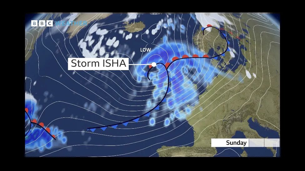
The Met Office has named it as the ninth storm of the season and has forecasted the strongest winds to strike on Sunday night through Monday morning, with two amber warnings in place.
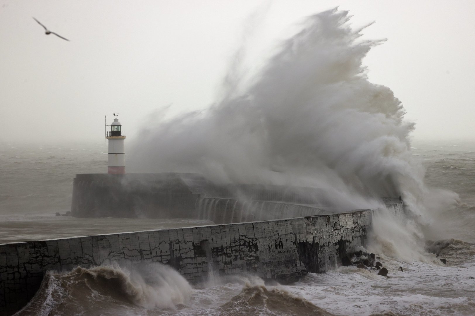
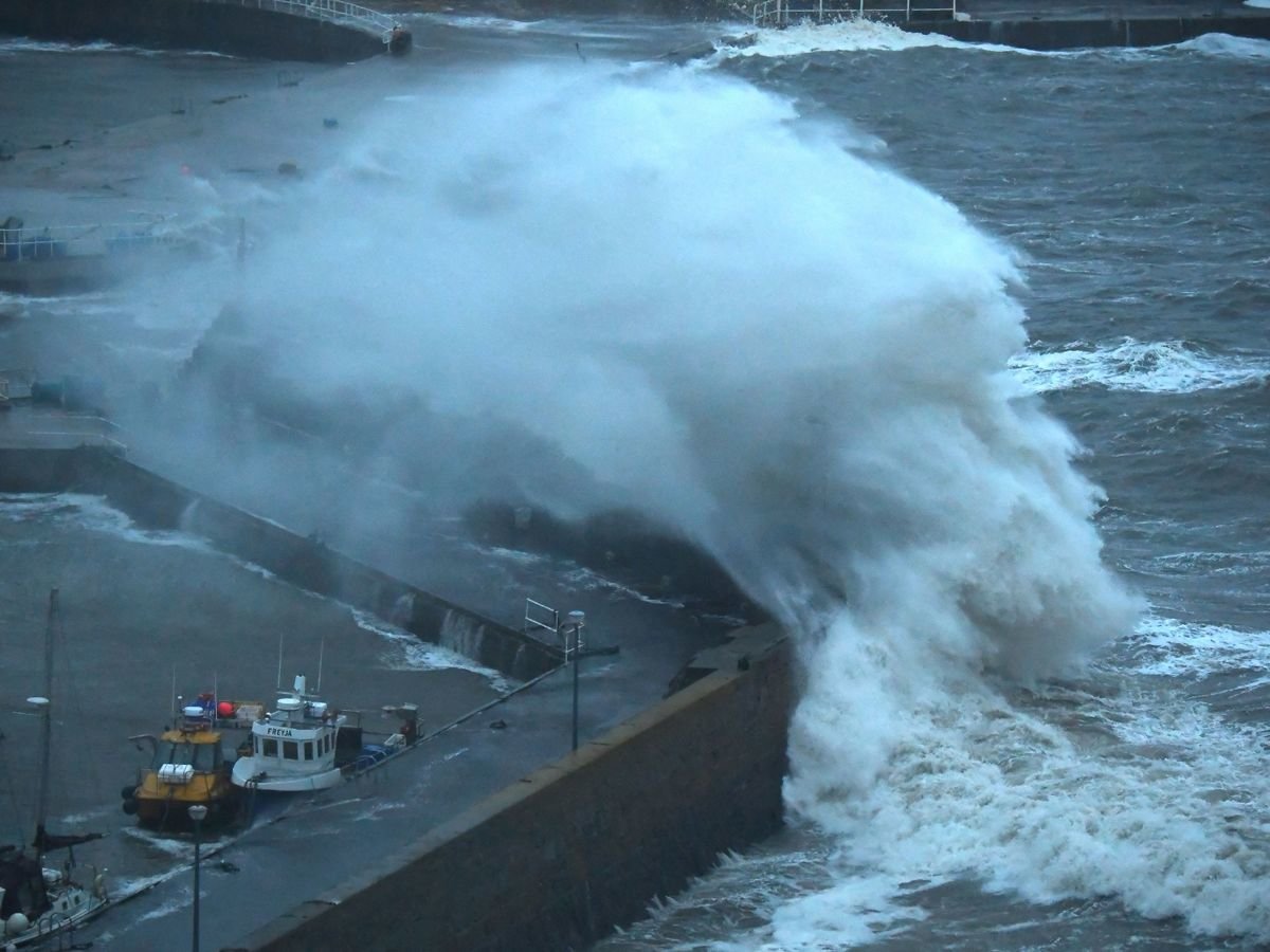
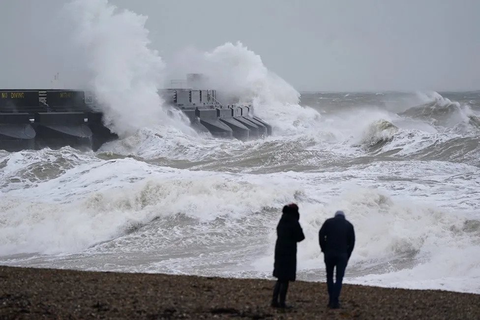
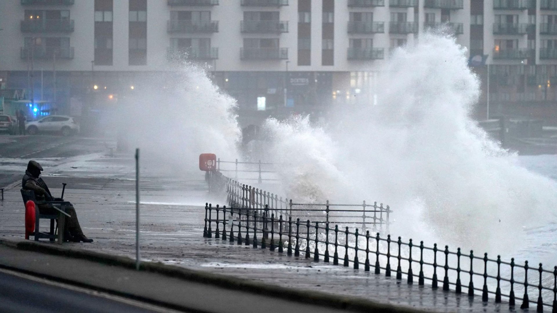
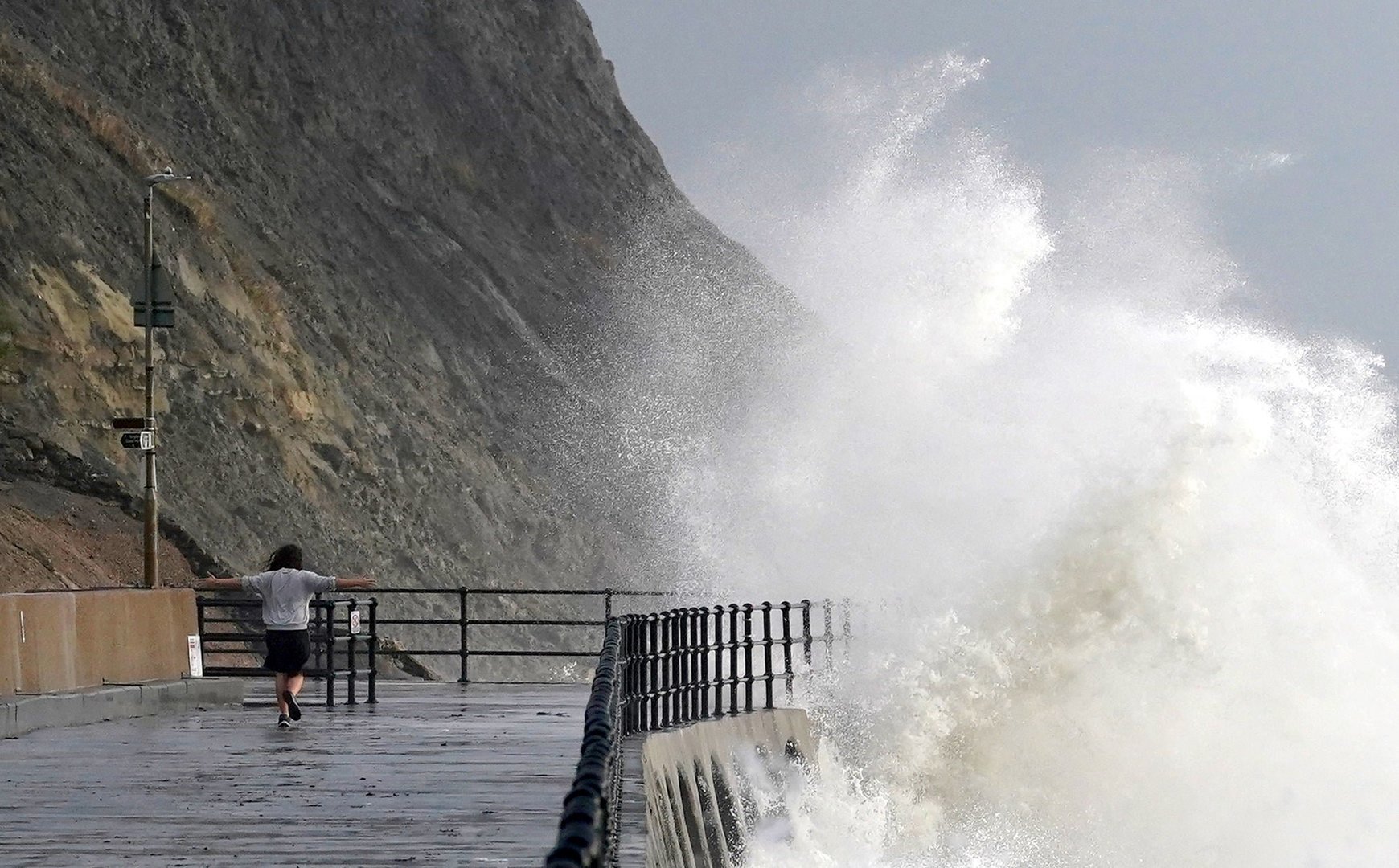
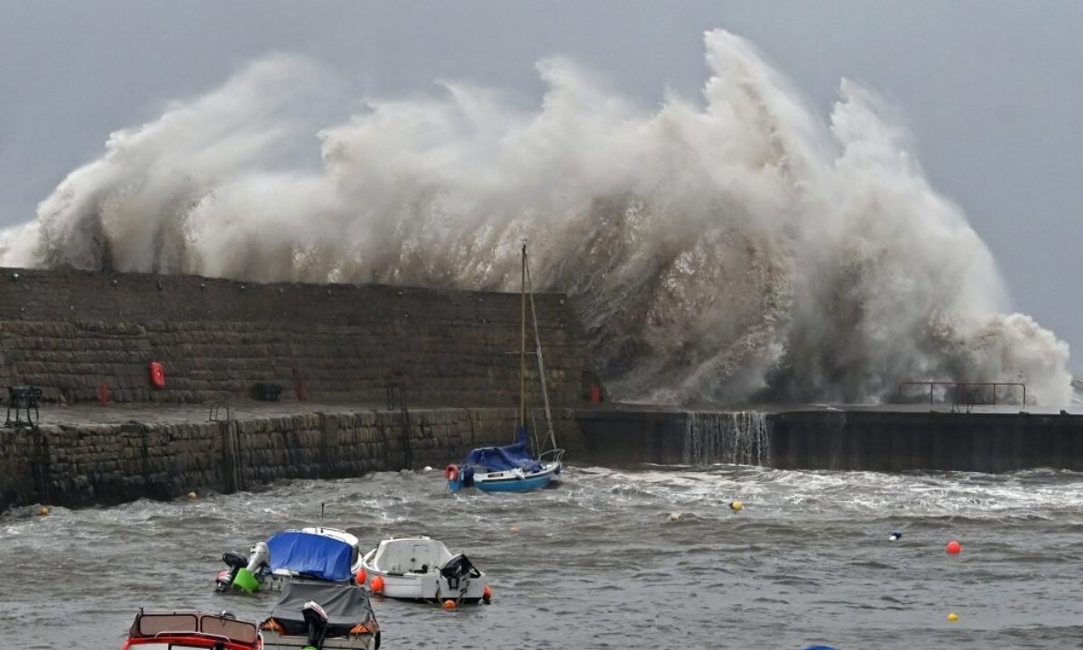
By Friday, the last of the cold spell will dissipate, making way for milder temperatures. Amber warnings predict gusts up to 80 mph in certain regions, posing a significant risk to life and property, especially in coastal areas. Power outages and disruptions to buildings, travel, and communications are highly probable.
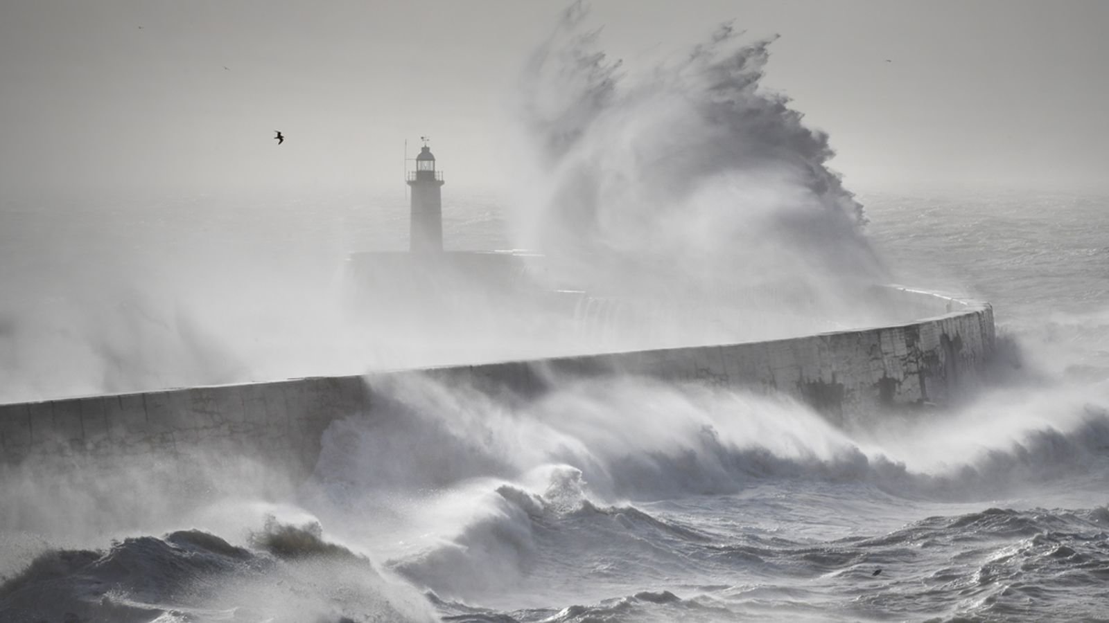
Southern Scotland, Northern Ireland, northern England, and parts of Wales and south-west England can expect the first amber warning from Sunday evening to Monday morning. South-east England will face similar conditions overnight into Monday.
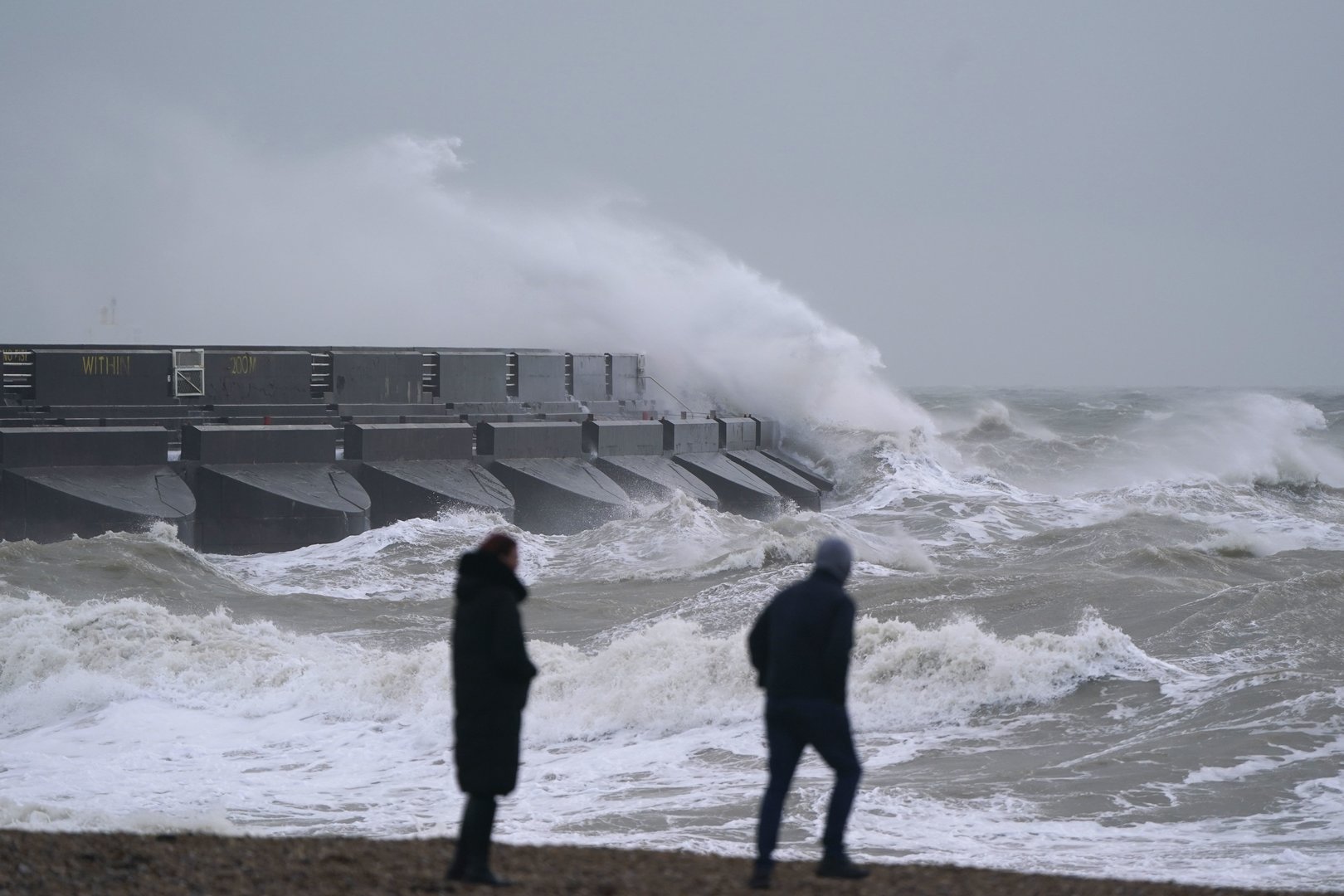
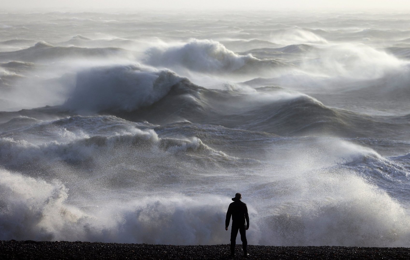
The UK will experience widespread gusts between 50-60 mph, and possibly up to 70 mph along coastlines, under a yellow warning effective Sunday to Monday. Transport and travel may be disrupted locally.
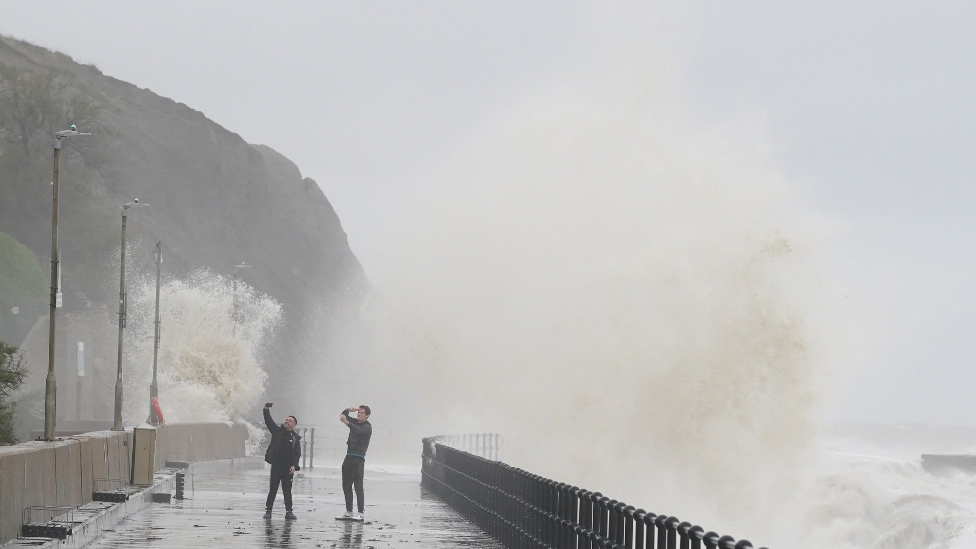
The RAC cautions drivers of hazardous driving conditions, advising caution and preparation for delays in severely affected regions. In addition to the wind, yellow rain warnings also indicate potential flooding, especially over higher ground, with several flood warnings already issued in England.
Temperatures will rise by Sunday, reaching up to 15C in southern England by Tuesday, which is well above average for the time of year.
While Monday through Tuesday could see further wet and windy weather, the south is expected to settle later in the week, with the north-west remaining more unsettled. Storm Isha follows Storm Henk, which previously wrought havoc across parts of the UK.
By Friday, the last of the cold spell will dissipate, making way for milder temperatures. Amber warnings predict gusts up to 80 mph in certain regions, posing a significant risk to life and property, especially in coastal areas. Power outages and disruptions to buildings, travel, and communications are highly probable.
Southern Scotland, Northern Ireland, northern England, and parts of Wales and south-west England can expect the first amber warning from Sunday evening to Monday morning. South-east England will face similar conditions overnight into Monday.
The UK will experience widespread gusts between 50-60 mph, and possibly up to 70 mph along coastlines, under a yellow warning effective Sunday to Monday. Transport and travel may be disrupted locally.
The RAC cautions drivers of hazardous driving conditions, advising caution and preparation for delays in severely affected regions. In addition to the wind, yellow rain warnings also indicate potential flooding, especially over higher ground, with several flood warnings already issued in England.
Temperatures will rise by Sunday, reaching up to 15C in southern England by Tuesday, which is well above average for the time of year.
While Monday through Tuesday could see further wet and windy weather, the south is expected to settle later in the week, with the north-west remaining more unsettled. Storm Isha follows Storm Henk, which previously wrought havoc across parts of the UK.