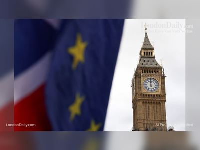
UK Cold Snap to Give Way to Milder, Wetter and Windier Conditions After Storm Goretti Disruption
Following Storm Goretti’s severe winds and snow, the United Kingdom is set to see an easing of the Arctic cold snap as milder Atlantic air brings unsettled weather including rain and stronger winds next week
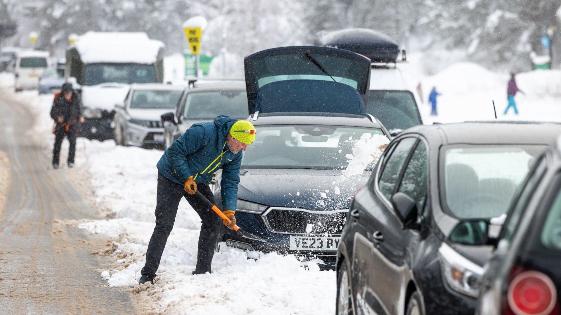
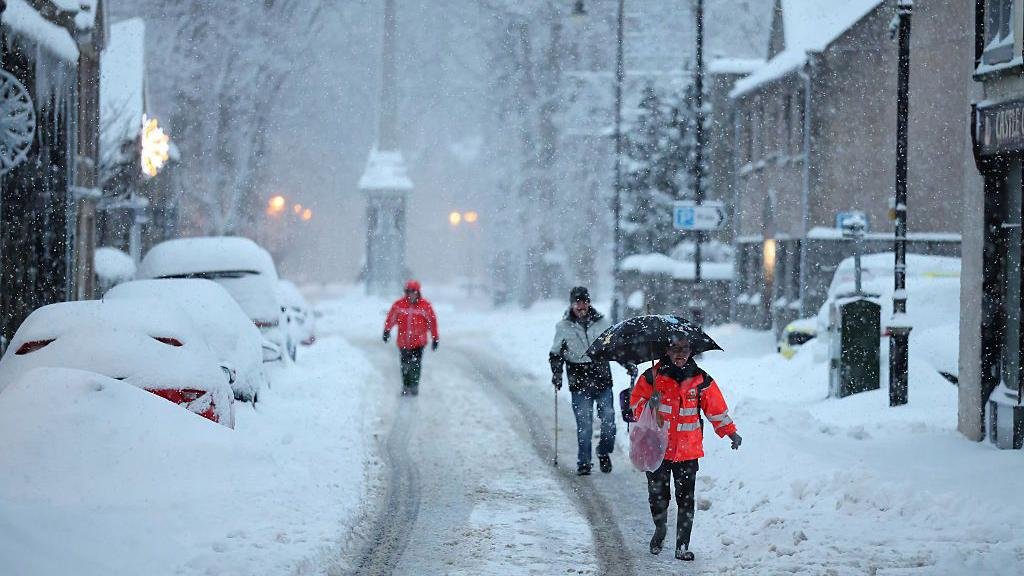
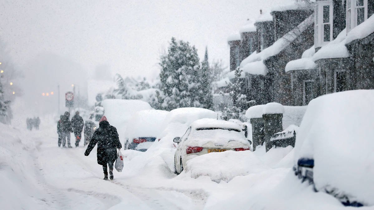
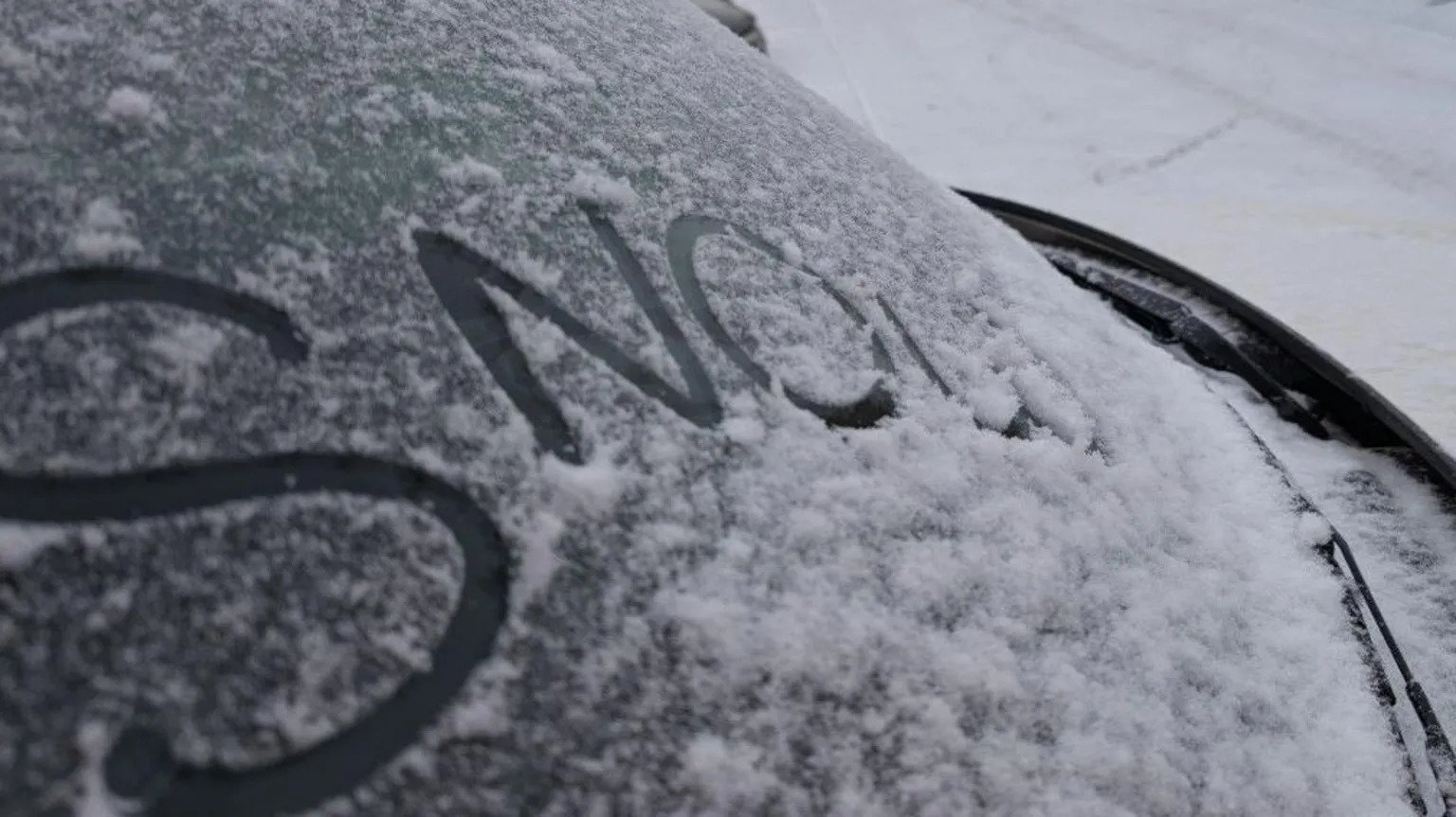
After days of disruption from Storm Goretti, which brought heavy snowfall, powerful winds and widespread travel and power impacts across the United Kingdom, meteorologists now expect the intense cold snap gripping the nation to ease as milder air moves in from the Atlantic.
The Met Office forecasts that temperatures will rise toward seasonal averages over the coming days, ending the most severe sub-zero conditions that had accompanied the storm and reversing the deep freeze seen in many regions.
This change follows the passage of Goretti, a powerful extratropical storm that collided with an existing mass of Arctic air and caused heavy snow, gale-force winds and significant travel disruption earlier in the week.
While the transition to milder conditions will bring relief from biting cold, forecasters warn that it also ushers in a period of unsettled weather.
Areas of low pressure are expected to spread wet and windy conditions across the country, raising the risk of rain, further strong winds and potential flooding, especially as melting snow adds to runoff.
The Met Office has indicated that an interlude of calmer weather may briefly occur, but it will be followed by new systems arriving from the west, bringing widespread rainfall and gusty conditions through the weekend and into next week.
Communities across the UK are still grappling with the aftermath of Goretti’s impacts, including power outages, transport delays and icy or flooded roads, but the shift toward less severe temperatures may help ease some immediate challenges.
Emergency services and transport authorities continue to urge caution as conditions evolve, with warnings remaining in force for rain, residual snow and ice in parts of the country.
The changing weather pattern underscores the variable nature of mid-winter conditions in the UK and highlights the continued influence of Atlantic systems following periods of Arctic cold and major storm events.