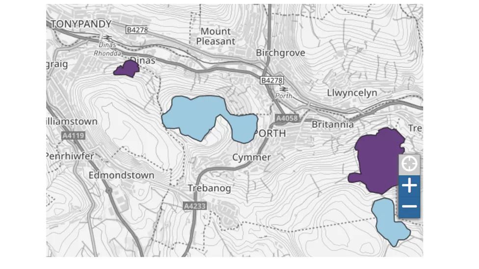

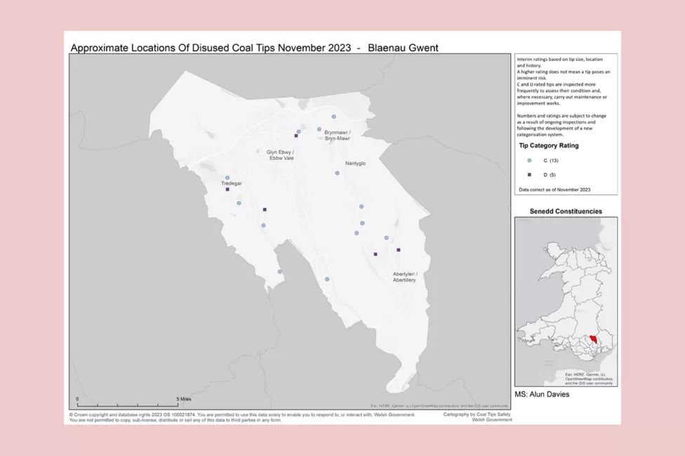
The Welsh government has created a taskforce, including the Coal Authority, local councils, and Natural Resources Wales (NRW), to assess and categorize the coal tips based on their risk levels.
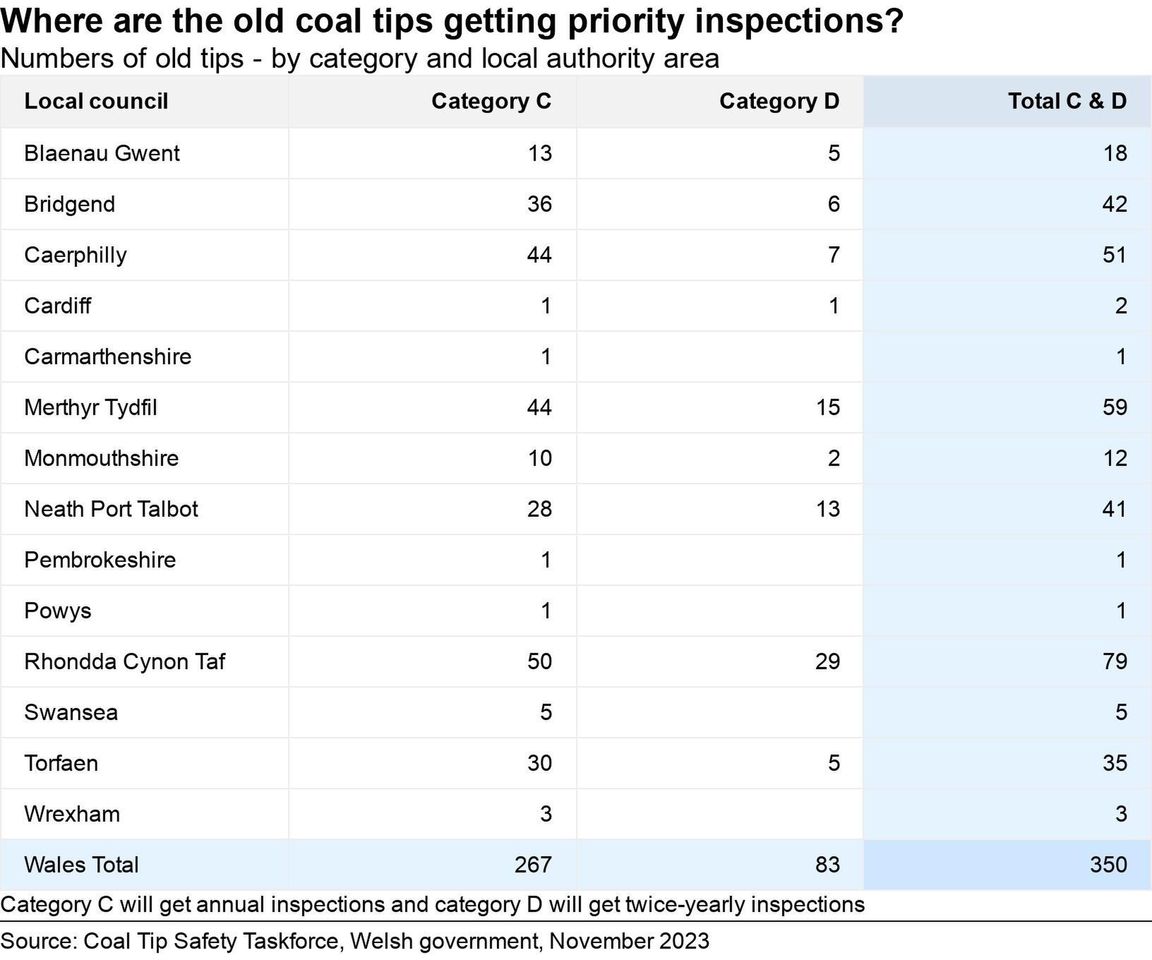
They have identified 350 tips at the highest risk, with some requiring annual inspections (category C) and others needing inspections twice a year (category D).
The maps have been compiled using various data sources, including satellite images, aerial photography, mine records, and site surveys. The government is also using technology like drones and sensors to monitor some of the most at-risk tips.
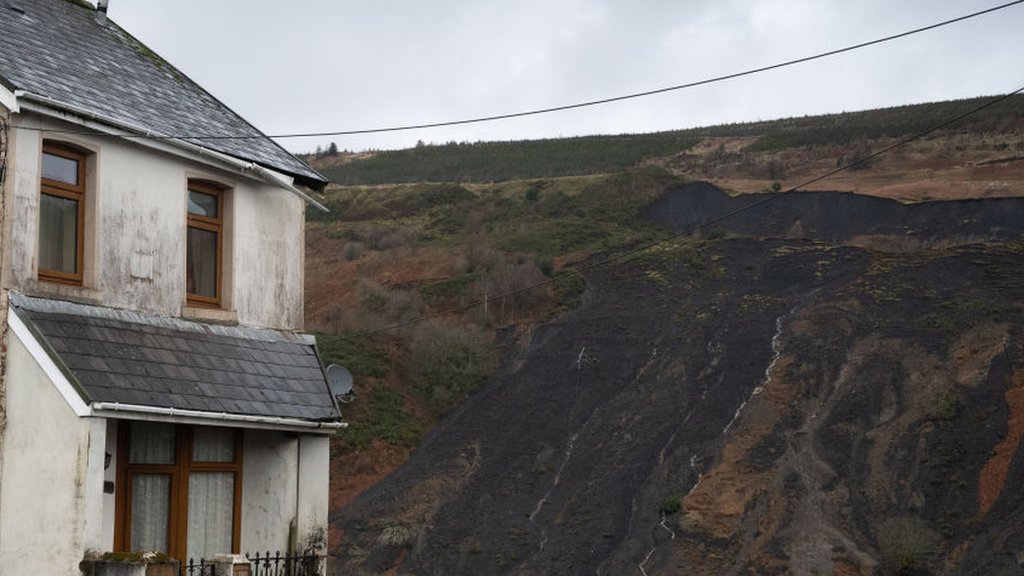
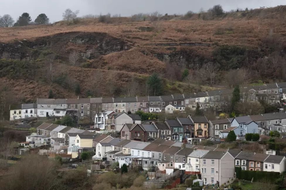
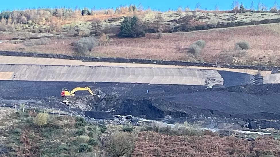
This safety initiative comes after a landslide in Tylorstown, Rhondda Cynon Taf, following storms in 2020. The goal is to ensure the safety of communities living near these coal tips and prevent potential disasters like the Aberfan tragedy, where a colliery spoil tip collapse in 1966 resulted in numerous fatalities, including children at a primary school.
The government has allocated £44.4 million for the maintenance of old tips until the end of 2024-25. Additionally, new legislation is being developed to legally establish safety measures for managing, monitoring, and maintaining these old coal tips. The aim is to create a long-term, fit-for-purpose regime led by a newly-created public body to ensure the safety of communities near coal tips.